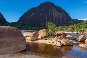
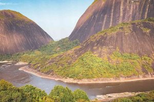
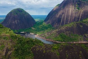
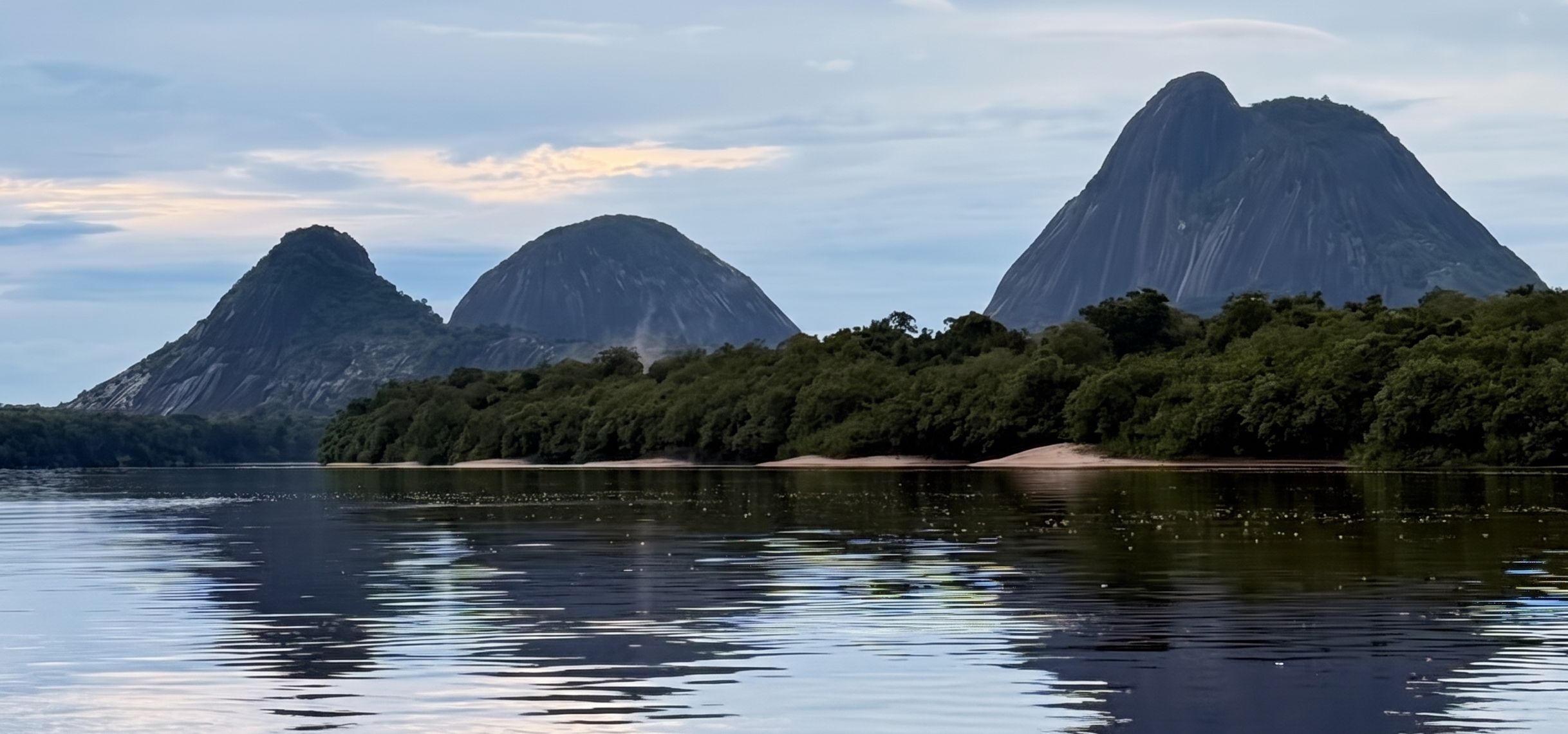
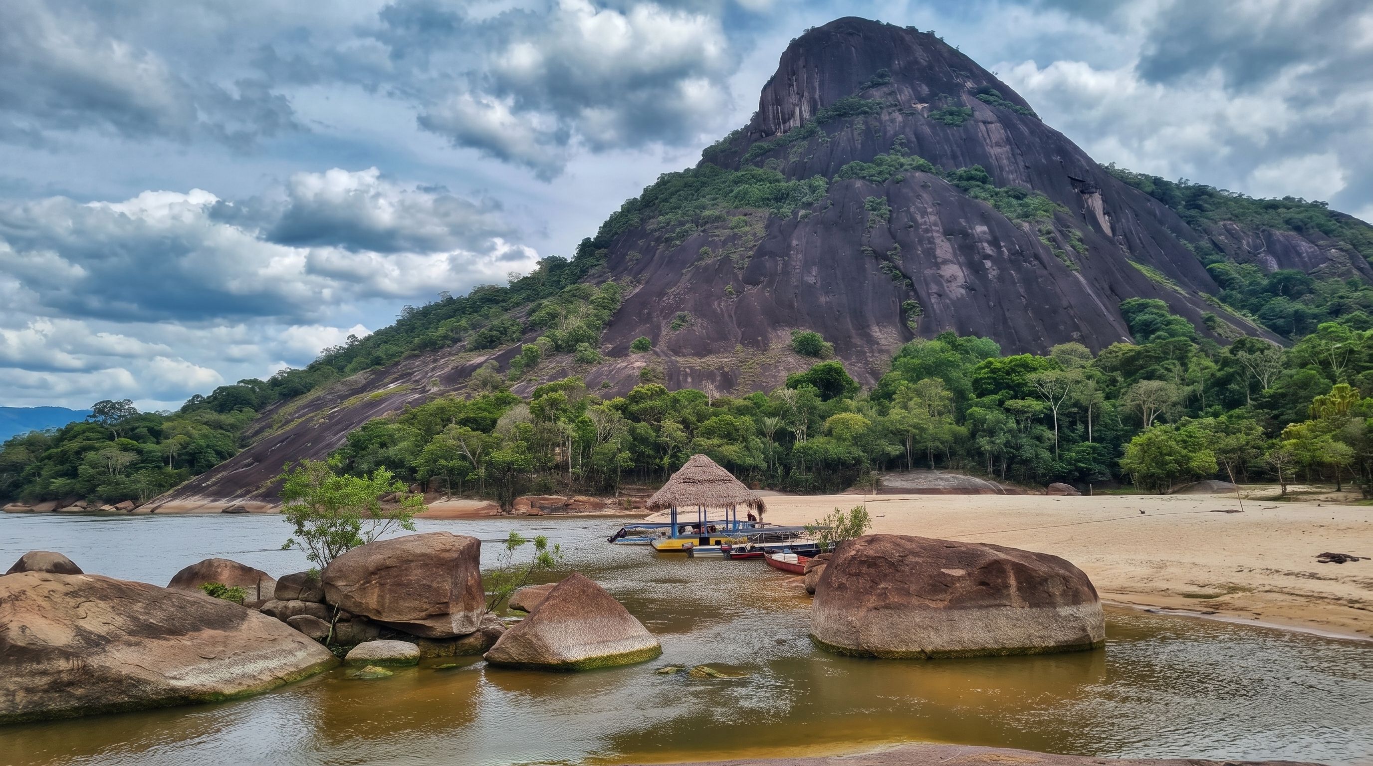
TheMavecure Hillsrise majestically in the midst of the Amazon transition jungle of the department ofGuainía, forming one of the most breathtaking natural and geological landscapes ofColombia. The three granite monoliths —Mavecure, Mono and Pajarito—, belonging to the millennialGuianese Shield, emerge alongside the dark waters of theInírida Riverand theInírida River Star(world Ramsar site of global importance), offering unforgettable panoramic views from its summits.
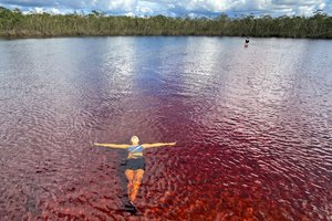
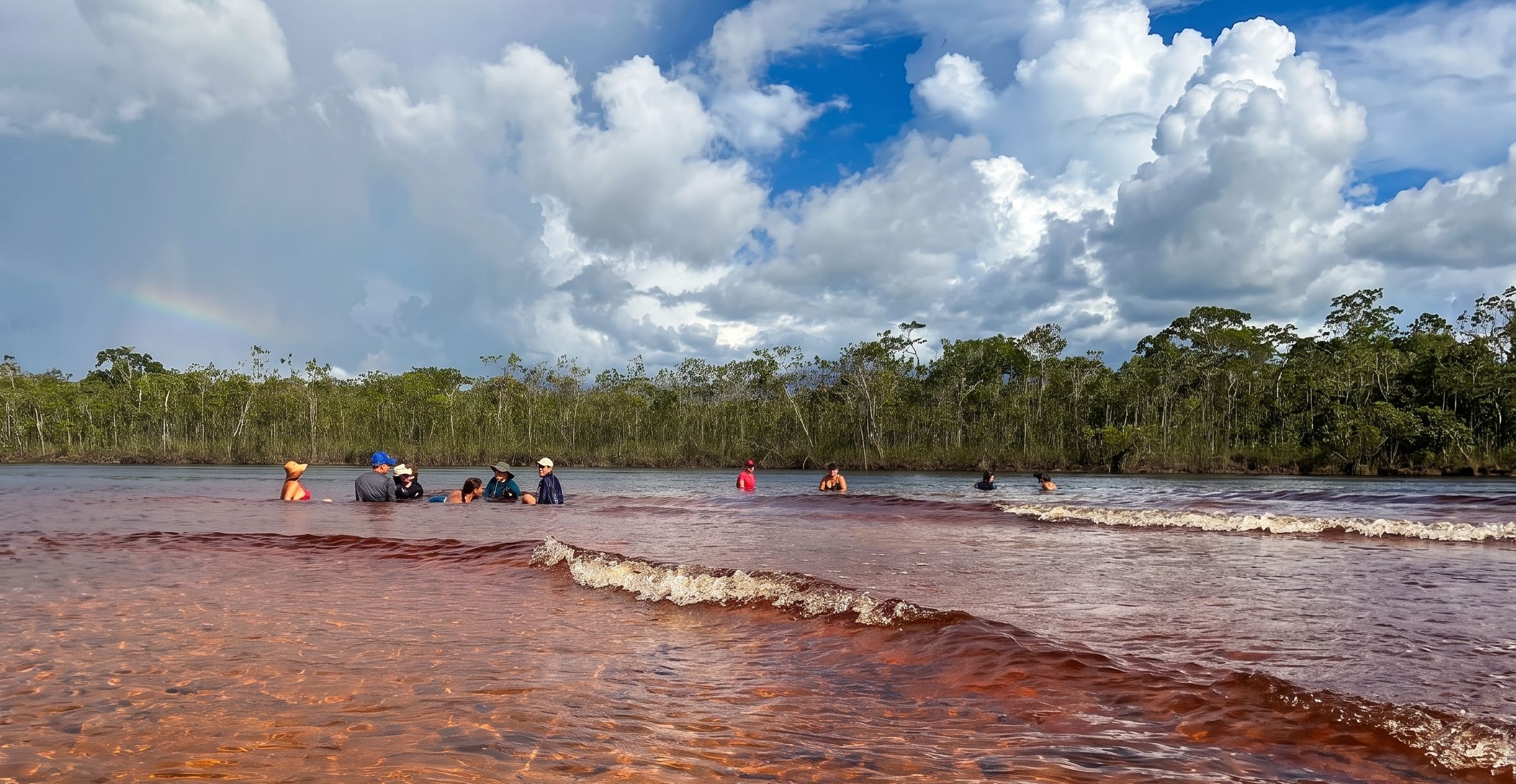
Located a few hours by boat fromInírida, this biodiversity sanctuary allows you to swim in the reddish and crystal-clear waters ofCaño San Joaquín, to spotriver pink dolphins (toninas), to know the emblematicFlor de Iníridain the white sand savannas and share with the indigenous communitiesPuinave and Curripacoin reserves likeThe Resting Place y Deer, learning from their worldview, handicrafts, and ancestral gastronomy.
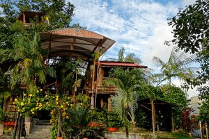
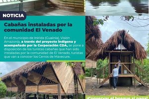
En Markaribe Travelwe haveinspected and validated on siteall the logistical operation towards theMavecure Hills, including indigenous community permits, certified native guides, safe river vessels, and accommodations inIníridaand in the local communities. With our expert support before, during, and after the expedition, you will experience a safe and well-organized adventure in the heart of Guainía.
Explore theCerro del Mavecureit's a unique experience in the heart of the Colombian Amazon.
The most practical way to get there is by taking a commercial flight withSatenauntil theInírida airport. You can start fromBogotá o Villavicencio. This flight has an approximate duration of 1 hour and connects your city of origin with Inírida, the gateway to tourism inGuainía. Markaribehelps you manage the purchase of tickets and coordinates your transfers from the airport so you can travel worry-free.
From the dock of Inírida, you navigate by motorboat for approximately 2 hours upstream to the base of the hills. This journey through theInírida Riverit is a journey in itself, bordering white sand beaches and observing wildlife at every bend. Upon reaching local communities, such asDeer o La Ceiba, the hike towards theMavecure Hills.
The access toCerro Mavecurerequires authorization from indigenous communitiesPuinave. It is essential to have experienced local guides.Markaribecoordinate this process: our native guides manage the necessary permits, provide guidance on local cultural practices, and accompany the ascent with all safety measures.
Check availability, prices, and customize your experience with our AI agent.